We like to keep you up to date about the progress and let you gain insight into the work involved as Digitalparos takes shape. Expect to read more about the evolution of this project in the near future.
From where to start
From the very beginning our consensus was that the centerpoint should be a map. But our very own map, independent of 3rd-parties and business models of those services.
Data collection
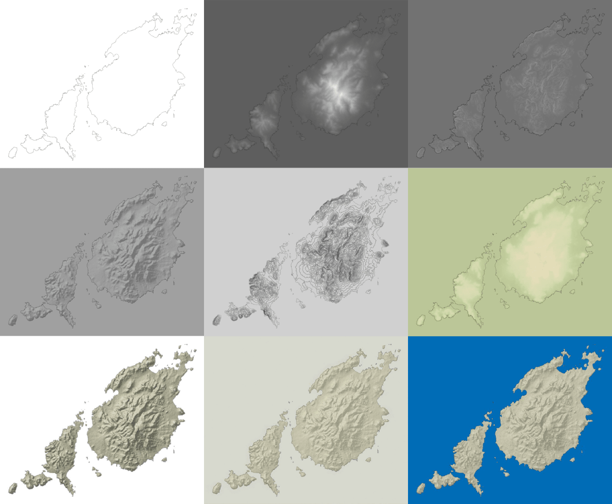
So our initial work involved the collection of publicly available geographic-data and use it to process a first base-layer. Some of the main sources used during this process were provided by the European Environment Agency, the Greek Geodata project and OpenStreetMap.

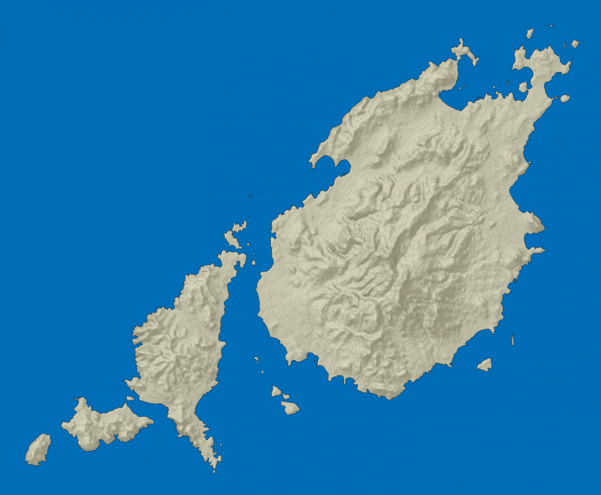
After quite some trial and error, the final basemap was ready:

Now to get this map to practical use it has to be served online and that's where a Tiled web map comes into play. In my next post i will go into more detail about that.